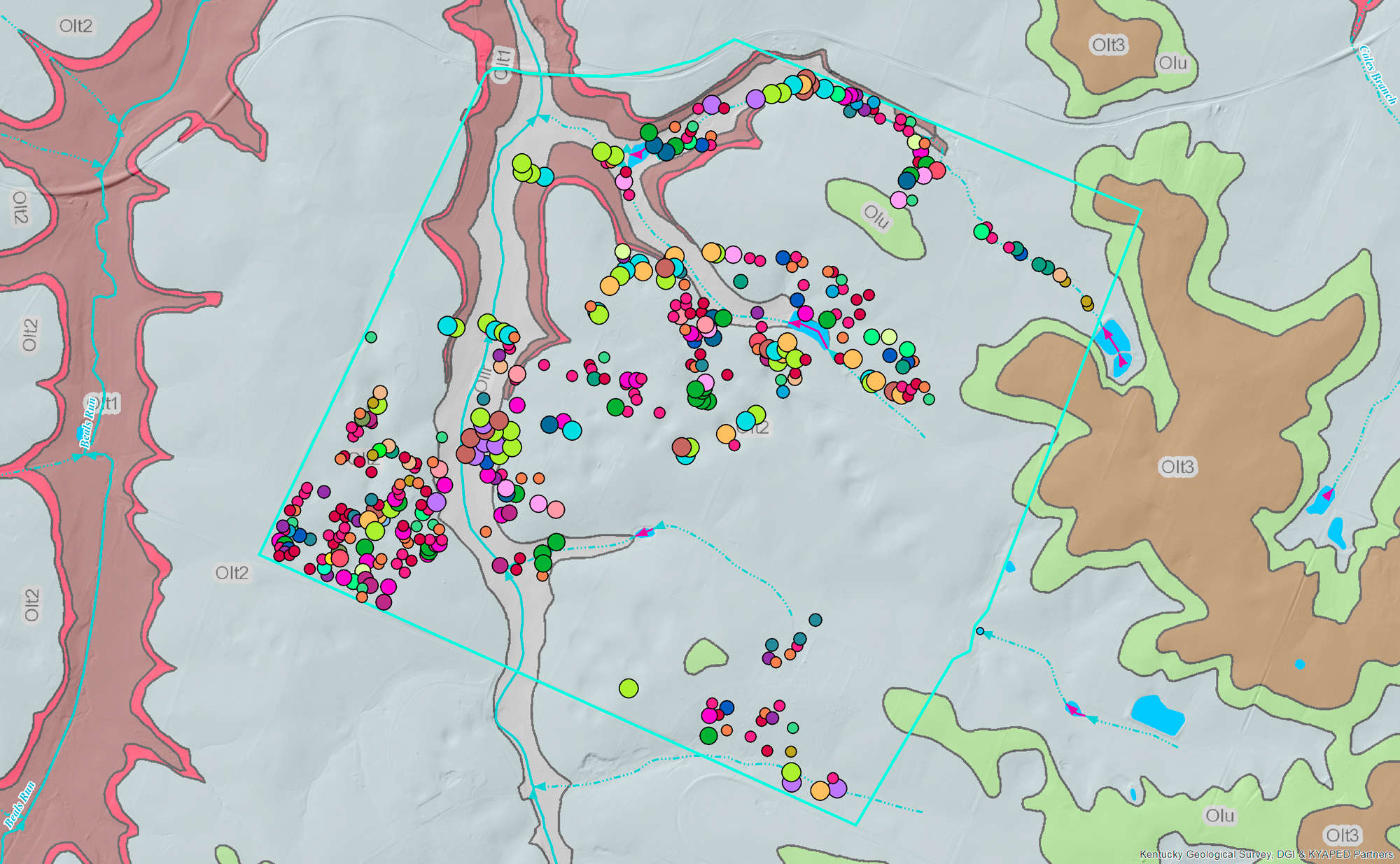
Maps and GIS are at the core of our work at Venerable Trees, Inc. A GIS, or Geographical Information System, “lets us visualize, question, analyze, and interpret data to understand relationships, patterns, and trends” (ESRI). The usual way of looking at GIS data is by the creation of a map, but that is far from the only way to use a GIS. The most important fact about a GIS is this: every object in a GIS database has location information associated with it, so we know exactly where on Earth it can be found.
Soon, Venerable Trees will launch a live mapping system that will allow our visitors to locate Venerable Trees and other information about the Bluegrass. For now, we want to appreciate the beauty of maps created from GIS.
- Go to our GIS page to learn more about our work with maps.